Search this Site

Close

Unlocking the Power of Technology: Solutions for Facility Master Planning Processes

By Tim Terman, NCARB

February 7, 2023

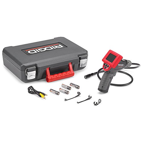
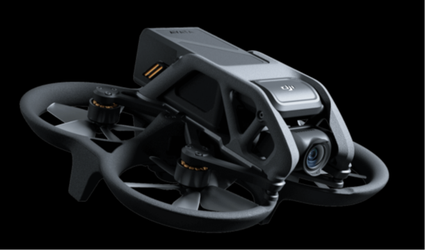
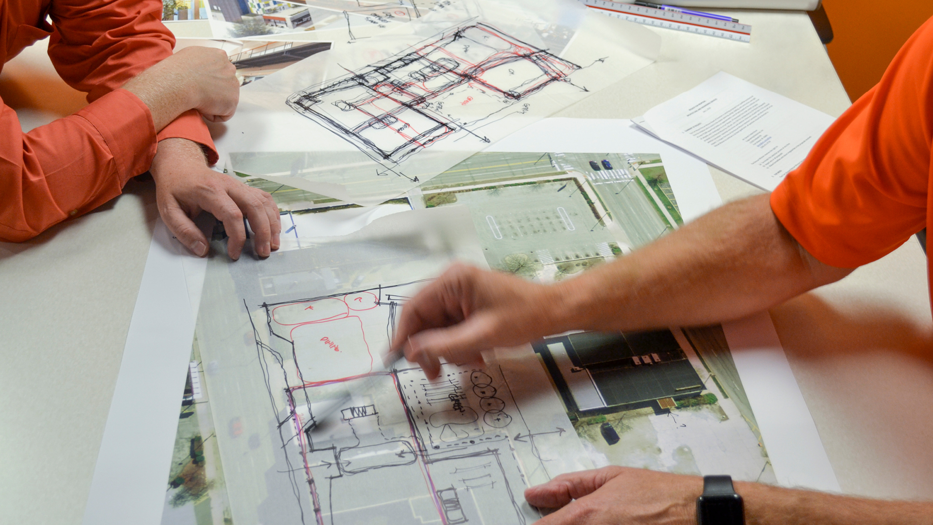
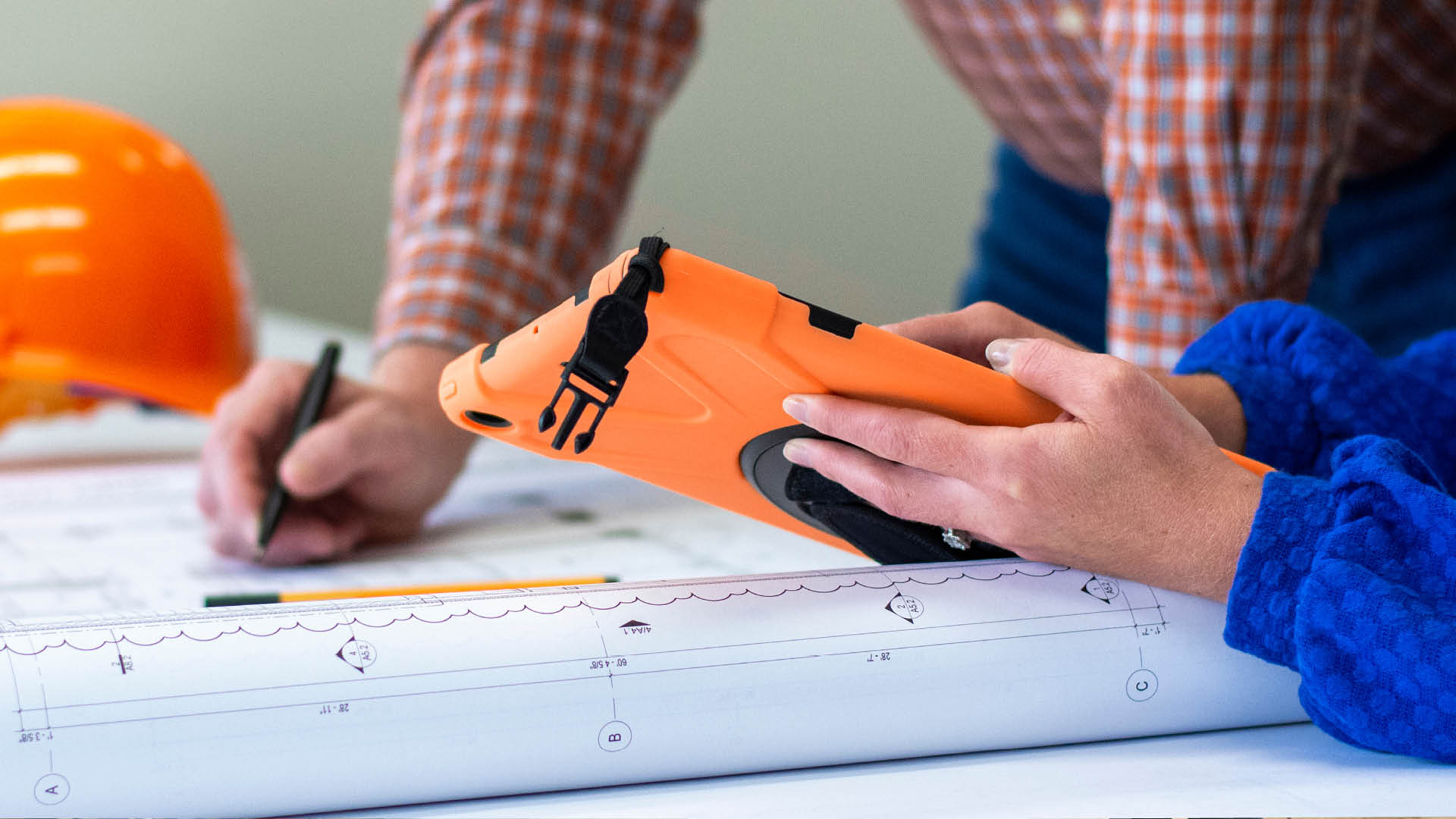
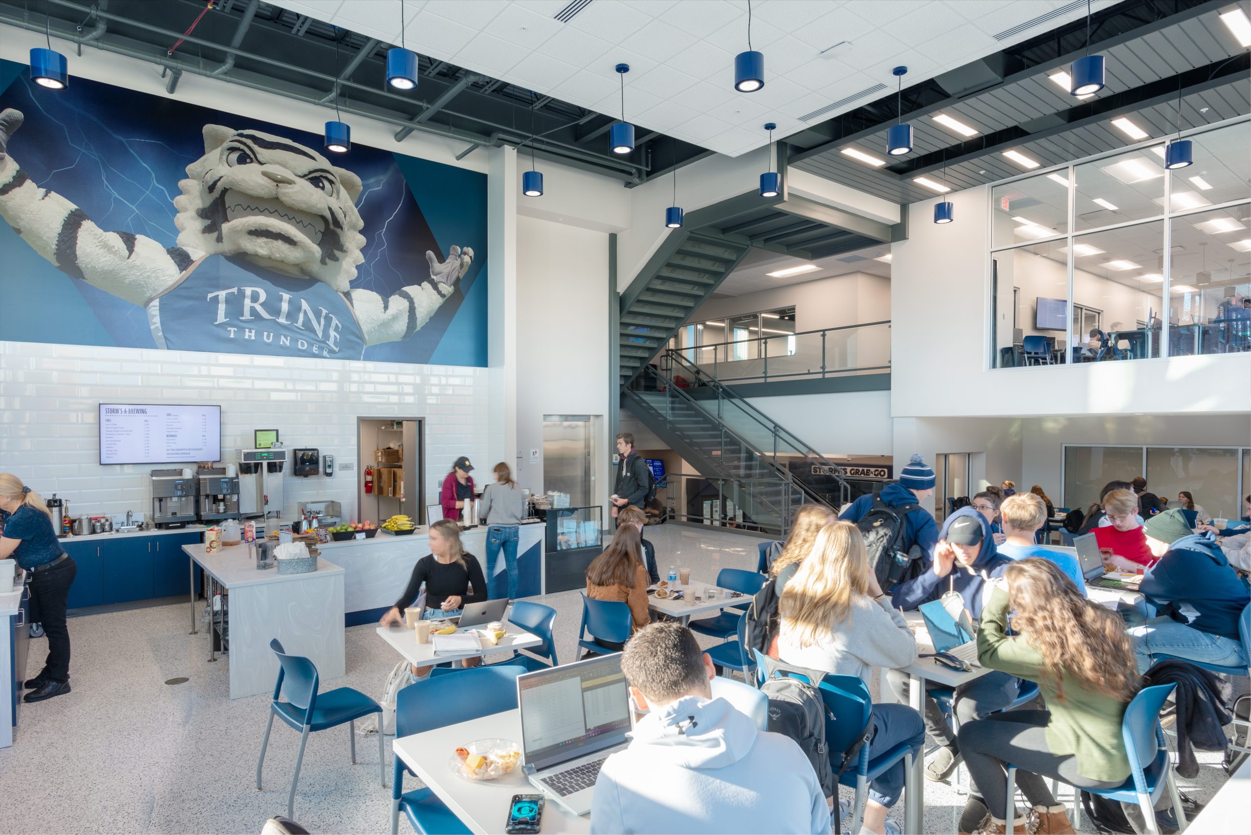
You’re a decision-maker at your university trying to figure out the best long-term plan for your campus. How can you know which spaces are being utilized by students? How can you be sure the needs of your student body are being met? How can your facility be adaptable to changing conditions, accessible, and ultimately expand programs? Where do you start if you don’t even have floor plans of your spaces? 

After talking with colleagues, you decide to bring a firm on board to help you with the process of creating a facilities master plan. With so many tools and new technologies, the firm is able to quickly gather lots of data about your campus and students to analyze the best use for each building. Digital walkthrough’s and floorplans for spaces that previously had no documentation are now available. Campus buildings are inspected with ease by means of drones and micro cameras. You, your team, and the firm work together to examine the gathered data and begin to dream what your campus could look like with systems and facilities that work together, and ultimately set your students up for success. 

Image: Trine University – Steel Dynamics Center for Engineering and Computing 

The university campus facility master planning process can be a daunting task.

With the need to consider the safety, aesthetics, and functionality of these spaces, it is important for clients to have the right tools available. Fortunately, technology like Matterport, drones and GIS software have revolutionized this process by allowing clients to quickly gather data needed for planning and make informed decisions. By combining these technologies, facilities managers and designers can create highly detailed facility master plans with ease.

Matterport

Matterport is a 3D imaging technology that captures 360-degree pictures of spaces while simultaneously LiDAR scanning them.  This allows all project collaborators – from owners to consultants – to virtually walk through scanned buildings anytime day or night. This technology is particularly helpful in older buildings where typically no original building drawings are available to begin design.  Accurate floor plans can be generated much more quickly than traditional field measuring techniques. The Matterport Pro 3 allows us to capture data, both indoors and outside (with a range over 300’) allowing for more detailed information about building geometry and useful metrics such as room size, ceiling height, etc., even revealing void spaces between walls that otherwise would have gone undetected. This allows our team to develop strategies for renovating buildings and spaces that avoids time consuming changes later in the project process.

RIDGID Micro CA-25 Inspection Camera

The RIDGID Micro CA-25 Inspection Camera aids DC’s architects and engineers in building inspections while trying to better understand current university facilities while working through a facilities master plan. This waterproof, battery-operated camera allows the team to inspect small spaces that normally require demolition to inspect. With the possibility of inspecting more behind walls than ever before, DC is able to save our clients’ money by avoiding potential damage and to better plan for future renovations.

Image: Ridgid

DJI AVATA Drone

Drones are rapidly becoming an important tool in the architecture master planning process. Not only are they capable of capturing high-resolution aerial photographs and videos, but they can also provide valuable data on terrain contours, topography and vegetation which can be used to inform land use decisions. DC’s in-house FAA certified drone pilots utilize the DJI AVATA drone to accurately measure distances between buildings and sites as well as elevations for more precise project design.

Drones allow for faster site inspections and improved accuracy compared to traditional manual surveying methods. By providing an up-to-date overview of a property, drone imagery can help our team track changes over time and monitor project progress easily. The use of drones is particularly beneficial for facility master plans. Drones can provide aerial footage which can be used to analyze traffic flow and predict future trends, enabling architects to assess the impact of their designs on an area. They are also able to collect data on environmental factors such as air and noise pollution, allowing our team to ensure their plans are suitable for the surrounding environment.

Image: Pilot Institute

GIS Software

Geographic Information Systems (GIS) technology has revolutionized how master planning occurs on higher education campuses. GIS software allows campus planners to access detailed data about a given area, such as demographic information or building locations. By mapping out all of this data in one central location, GIS makes it easier for decision-makers to visualize what their campus will look like in the future as and identify areas where improvements might be necessary as they analyze spatial relationships between places and features. Another benefit of GIS software is its ability to integrate seamlessly with existing campus systems like student databases or geographic maps.

MGT Consulting, one of DC’s project partners, incorporates GIS software to help higher education facilities develop anything from a floor plan of a building on their campus to collecting data on an entire campus to plan for the future. With precise and detailed visual representations of proposed projects and changes, this software allows MGT to speak with presidents, facilities teams, and other decision-makers to quickly and easily access relevant data points, and ultimately efficiently plan for the future.

Creating Facilities Master Plans on college campuses has become much more efficient thanks to the introduction of modern technologies like Matterport, drones, new and improved micro inspection cameras, and GIS software.

With these tools, our team can create precise plans that meet both short-term needs and long-term goals while optimizing resources along the way. In short, tech-driven master planning is essential for keeping higher ed campuses competitive in today’s ever-changing world!

Master Planning
Copyright ©2024 Design Collaborative